All About the Geographical Aspects of Germany – A Comprehensive Guide
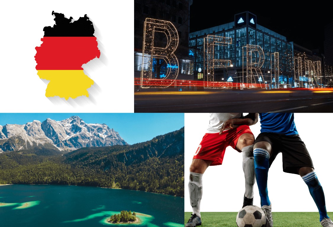
Germany has a diverse landscape, with tall, sheer mountains in the south, sandy, rolling plains in the north, forested hills in the urbanized west, and agricultural plains in the east.
We all know that geography can be difficult to learn, but it is also necessary for understanding our surroundings. Fortunately, there are tons of geographical information about Germany that is both easy to remember and enjoyable to learn! Here are 12 astonishing facts about Germany’s geography that you may not have known before.
Germany’s geography
Enrolling into online German language courses must have fascinated you to learn about the geographical features of Germany. Germany’s terrain is diverse, with mountains, lakes, rivers, plains, and forests. Throughout history, German geography has had a significant impact on the country’s development.
For a long time, Germany’s geography has had an impact on the economy. Germany is a country shaped by its geographical location.
For centuries, people have lived in the area and made a living by fishing in rivers and seas.
1. The Zugspitze is Germany’s highest mountain, with a peak elevation of 2.962 meters. It is considered as one of Germany’s most popular tourist attractions.
2. Germany is in Western Europe, between the North Sea and the Baltic Sea. The land is 357,580 km2 (138,062 mi2) in size and has 2,389 km of coastline (1,484.5 mi). About 89% of the land area of California is in this area. So, Germany is the 64th largest country in the world and one of the largest in Europe.
3. Denmark borders Germany on the Jutland peninsula in the north. The Baltic Sea (Ostsee) and North Sea (Nordsee) coasts, respectively, complete the peninsula’s northern border. Germany borders the Netherlands, Belgium, and Luxembourg to the west, and France to the southwest.
4. Germany has a mild climate all the year round, with an average temperature of nearly 17 degrees in July and -0.5 degrees in January.
The highest temperature ever recorded in Germany was 42.6 degrees in Lingen in 2019.
5. From a hydrological perspective, the landmass of the Federal Republic of Germany can be broken down into seven distinct regions: the Danube, Rhine, Ems, Weser, Elbe, and Oder River basins; the tributaries of the Meuse River (Donau, Rhein, Ems, Weser, Elbe und Oder, die Zuflüsse der Maas; the North Sea coast; and the Baltic Sea coast.
6. Germany shares land boundaries with nine other nations. All of the Scandinavian countries, plus Poland, the Czech Republic, Austria, Switzerland, France, Belgium, Luxembourg, and the Netherlands.
7. Small sections of the outer limestone (or calcareous) Alps extend from Austria into Germany. They are the Allgäuer Alps, the Wetterstein Alps (with Germany’s highest peak, Zugspitze), and the Berchtesgadener Alps, in that order from west to east.
8. Most German rivers follow the general slope of the land, which is north-northwest, and end up in the North Sea. The Danube, which starts in the Black Forest and flows east, is the main exception to this rule. It forms the border between the Central German Uplands and the Alpine Foreland. The Danube gets its water from a series of right-bank Alpine tributaries that depend on spring and summer snowmelt to flow. This makes the Danube’s flow very uneven.
9. Germany has a small number of lakes. The shallow lakes in the postglacial lowlands of the northeast have the most of them. Lake Müritz in the Weichsel glacial drift of Mecklenburg–West Pomerania is the largest natural lake in the area. It covers 44 square miles (114 square km).
10. Germany imports most of its raw materials because it doesn’t have many natural resources of its own. The nation yields a lot of bituminous coal and brown coal (lignite). The main fields of brown coal are west of Cologne, east of Halle, south and southwest of Leipzig, and in Lower Lusatia in Brandenburg. Salt and potash are also found in large amounts and are mined near the Harz mountains.
11. Germany’s forest area encompasses about 11.4 million hectares, which is about one-third of the country’s land area.
12. Germany has a temperate and marine climate, with cold, cloudy winters and warm, sunny summers. In the south, warm föhn winds sometimes blow. Most of Germany is in a cool-to-warm climate zone, where humid winds from the west are most common.
The largest country in the European Union takes up a little more than a quarter of Central Europe. It has many rivers and lakes and is home to many big cities. Germany is a country in Europe. Knowing important facts about its geography helps us figure out how it came to be. Human history has been changed by geography. It’s interesting and fun! Learn German online with native teachers and share these important facts to help others know about Germany’s geography.


